
One often feels in Rome like the city fella who, asking the Down-Easter (voiced by the late great Marshall Dodge) for directions to some locale, gets a convoluted reply ending with, “But you cahn’t get theah from heah.”
The historic center of Rome center has, in fact, a small footprint; walking from one place to another is surprisingly quick. Rome was built, however, one seven (or eight or nine) hills and paved with cobbles and Belgian blocks so footing is insecure, those short walks often involve stairs and steep inclines, and the dogs get to whining something fierce, especially by the end of the day.
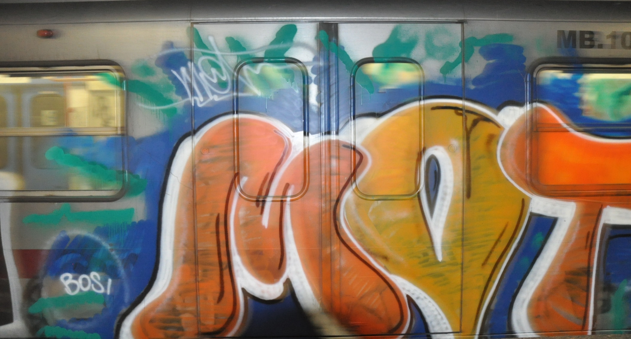
Metro art
There is the Metropolitana of course, a dandy subway system with stations at key tourism locales and the main train stations. Metro by and large is easy and quick. There are scads of buses and several trams that move people about above ground. Some buses, like the notorious no. 64, the “pickpocket special,” follow popular routes.
The cost of public transportation is relatively low: a little over a euro will buy you as many rides as you can manage in one hundred minutes; a three-day unlimited “tourist” pass costs 16€ and a week-long pass costs 24€. Passes cover everything within the ATAC radius. More about that later.
Anyway, if you think you’re gonna rest those feet occasionally, a pass can be a good deal, the seven-day, though, more than the three-day. For instance, we have become quite devoted to tram 8 which runs from Piazza Venezia and down Viale della Trastevere (with stops in our immediate neighborhood). We also like bus 208 which goes (approximately) up the north Lungoteveres and down the south.
The challenge is figuring out what bus will actually get you where you want to go.
getting around Rome
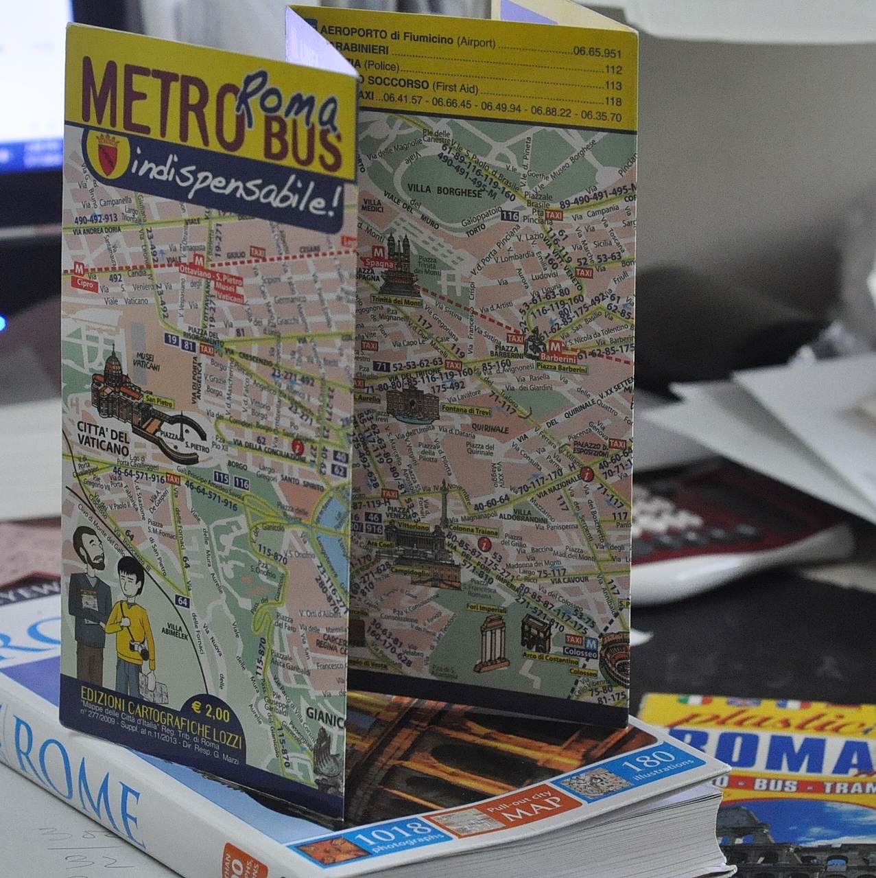
There are many bus maps. Forget’em. They are illegible messes of yellow lines and tiny blurred print, and mostly lack information about the direction a bus runs. Rome is lousy with one-way streets; getting the return bus is rarely a matter of simply crossing the street and looking for a bus sign. At Termini, Mussolini’s massive central railroad station, though, we found something called “Metro Roma Bus: indispensabile!”
The billing was no hyperbole—it was indispensable.
This laminated three-fold bus map has greenish lines and large blue numbers identifying the main bus routes and blue and red dotted lines for the Metro. It only covers the most central part of Rome, Termini in the east, the Vatican in the west, Piazza del Popolo in the north and the Isola Tiberina and the Colosseum in the south, but it’s a simple matter to follow those lines to places more remote.
And that brings us back to ATAC. ATAC stands for the Italian equivalent of “Tramways Company and Coach of the Municipality of Rome” and was founded in 1909. What I like is their website—recommended by someone on Fodors or Tripadvisor or some such thing. The main page—when searching from a computer on Italian wifi—is all in Italian but don’t be daunted. In the center column of the layout, near the top of the page, is a box with a link that says “Calcola il Percorso.” It means “calculate your route.” Click the reddish button that says “vai.” At the next page, which includes a large and undetailed map, look for the little UK flag icon in the upper right; click that and the page is translated into English. Now look down at the lower left and find the button that says “calculate route.” Click on that and you are in business. It may take a few efforts to feed the site the correct locations; it can be a bit fussy. Stick to it though. It will show you how much walking is involved in getting to your destination as well.
There is another nifty feature on that page. Look at the top for a link “find the line.” That’s a way to isolate a single bus route. For example, we wanted to take the bus from Trastevere to the Protestant Cemetery, which is adjacent to the Metro stop Piramide. We knew bus 280 was headed the right way. By clicking the button for one terminus, we could see a list of stops en route to the Cemetery; by clicking the button for the other terminus, we could see where to get on and off the return bus.
This is the kind of site you can play with ahead of time. I’m hopeless with my iPhone but someone adept with a smart phone or pad could probably use this site with great efficiency everywhere.
In any case, if you know where you are going, then just read the bus stop signs. Buses congregate at Termini, Piazza Venezia and one or two other places. If you have little idea where you are, but see that a bus goes to some place near your hotel or whatever, just hop on.
Of course the buses don’t necessarily run on a useful schedule. The Metro is quick—no traffic jams or one-way streets and labyrinthine routes to cope with. Some of the most popular routes are reasonably efficient.
Then there are the buses from H-E-double-toothpicks.
Consider bus 118, the only bus to get you down the Appian Way. It starts at Piramide, ambles past the Baths of Caracalla, makes its way onto the top of the Appian Way, then shifts to a parallel street, makes a big loop, comes back the way it came and eventually gets back to Piramide. It isn’t only that the route is so ridiculous—and it is ridiculous. It is also that there seems to be only a single bus in service at any point in time. The wait can be up to an hour (and there are no benches at most of the stops), and the ride itself, depending on where you get on can take about forty minutes.
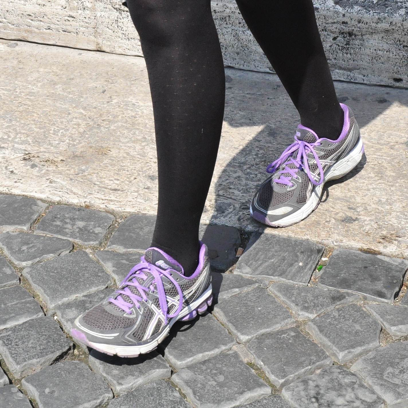
feet on Belgian blocks
Best advice? Wear comfortable walking shoes that provide plenty of support. Don’t be afraid of public transportation; it gets you to the marvels of Tivoli, the vast ruins of Ostia Antica, and the beaches at the Lido as well as to the summits of hills. If you are exploring the parks of Trastevere, particularly the ones on the heights of the Gianicolo, you’re gonna be glad you didn’t hike all the way up.
Or take a taxi. Sometimes one taxi solves all problems.